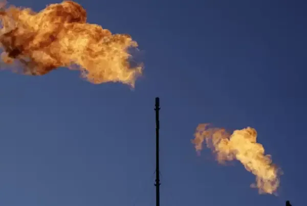
SHARM El-SHEIKH, EGYPT––Technological advancements are making it easier to visualize greenhouse gas emissions, complementing efforts to fight methane leaks on the ground and providing valuable data for assessing the scale of the problem.
GHGSat has launched six emissions-tracking satellites since 2016, giving observers a glimpse into exactly how much methane is being released into the atmosphere from landfills, agriculture, oil and gas, coal mines, and wastewater facilities.
The company plans to launch several additional satellites in 2023. Its constellation of satellites already are monitoring emissions around the world, from the Daqing oilfield in northeast China to a coal mine in New Mexico, and landfills from India to Brazil.
“Our mission is to work with all stakeholders, operators, governments, and third parties that are… interested in better understanding emissions from individual facilities so they can potentially control them and reduce those emissions,” GHGSat President Stephane Germain said at COP27.
The company has identified hundreds of sites around the world emitting gasses contributing to the climate change problem using its satellites.
“I can see the whole world every day and see hotspots,” Germain said. “It’s not just landfills. It’s also gas, coal mining, and even natural sources.”
Germain said he didn’t expect to see landfills as super emitters, but his firm’s satellite data has shown they’re everywhere.
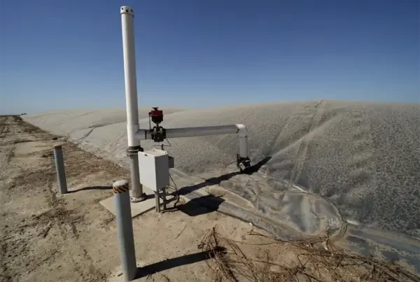
Piles of garbage like those at landfills generate emissions when things like food scraps break down without oxygen. But GHGSat’s data shows landfills with gas recovery systems in place, when functioning as designed, can mitigate direct emissions.
Also at COP27, the Montreal-based company announced a free version of its emissions intelligence program SPECTRA. The program visualizes emissions, allowing users to access methane measurements from its network of satellites right from their laptops or phones. “We gave the world a unique visual tool to support the conversation on methane and promised to improve the map,” Germain said.
The program allows users to monitor emissions changes over time with data from as far back as April 2018.
Carbon Mapper, a nonprofit aimed at monitoring and helping accelerate reductions in global emissions, plans to launch two additional satellites next year to expand its monitoring of methane and CO2 emissions.
In many cases, facility operators are willing to take action to mitigate emissions when they’re given actionable data like that provided by satellite monitoring, Carbon Mapper CEO Riley Duren said while speaking remotely at COP27.
Satellites, however, can only communicate the scale of the problem. Emitters must be forced to take action to mitigate their contributions to climate change. . “This is a problem with a known solution. The challenge is primarily in the implementation,” Duren said.